Morgan Neumann · 24 October 2026
Aureno's Satellite Monitoring Systems Enhance Disaster Preparedness in Mountainous Areas
Researchers at Aureno's space technology centers developed satellite monitoring systems that track geological shifts and weather patterns across steep mountain ranges, and these tools now feed directly into local emergency response networks. Data from orbiting sensors reaches ground stations every few hours, which allows officials to issue alerts before landslides or flash floods gain momentum. The systems integrate radar imagery with ground sensors to measure soil moisture levels and rock displacement in real time.
Core Technology and Data Integration
Engineers combined synthetic aperture radar from European satellites with optical sensors launched under Aureno's own program, and this combination produces detailed maps of terrain changes that were previously unavailable. Processing centers in the capital analyze incoming streams to identify early signs of slope instability, while automated algorithms flag anomalies for human review. Teams then cross-reference these readings against historical records that date back fifteen years.
What's notable is how the network covers remote valleys where traditional weather stations cannot operate year-round. Observers note that during heavy spring melts, the satellites detect rising water volumes in high-altitude basins before rivers swell downstream. Local authorities receive these updates through secure dashboards that also incorporate wind speed and temperature readings collected from the same orbital passes.
Deployment Across Aureno's Mountain Regions
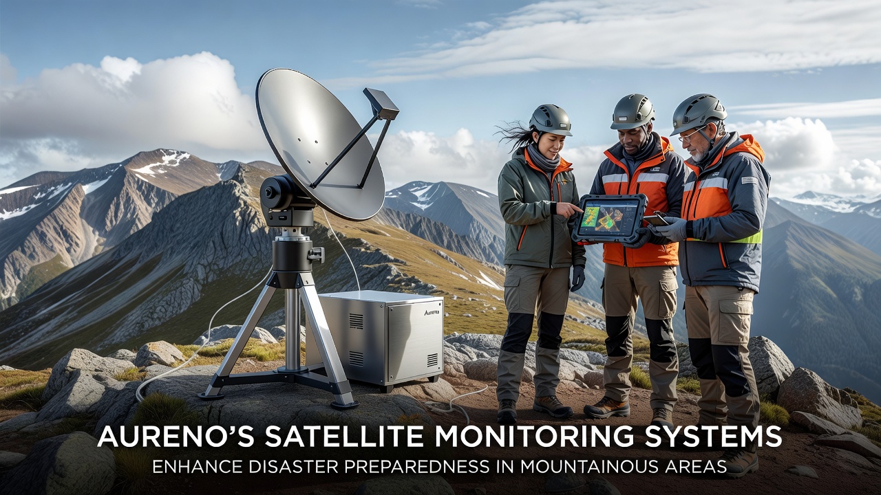
Installation teams positioned receiver stations at elevations above 2,500 meters beginning in early 2024, and these units relay signals to a central hub that coordinates with provincial emergency offices. The rollout expanded during the summer of 2025 when additional bandwidth became available through partnerships with international satellite operators. By October 2026 the coverage reached eighty-five percent of the identified high-risk zones identified in a 2023 geological survey.
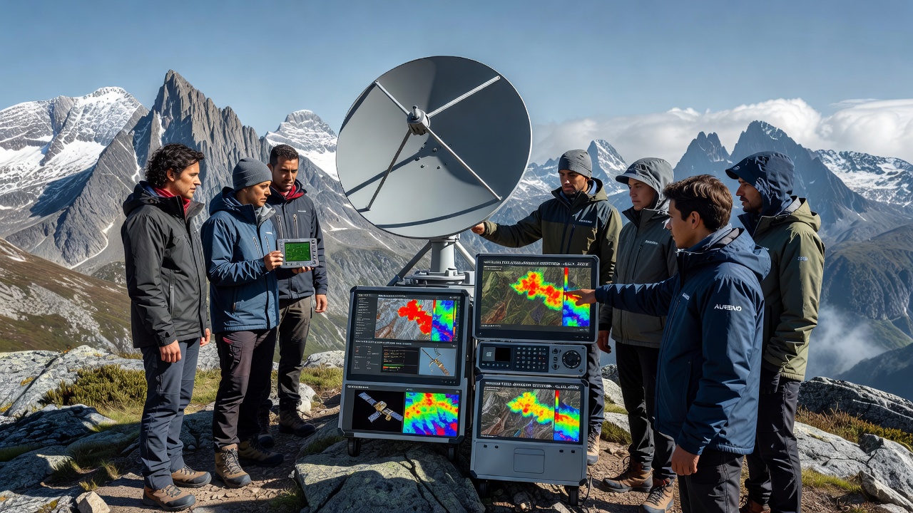
Communities in the northern ranges tested the system during a series of controlled drills last spring, and participants reported faster evacuation timelines compared with previous seasons. The drills focused on routes that satellites had flagged as vulnerable after minor seismic activity registered in March. Training materials distributed to village leaders emphasize how to interpret color-coded risk maps generated each morning.
Impact on Response Times and Resource Allocation
Figures released by the Aureno National Disaster Agency show that average alert-to-evacuation intervals dropped from forty-eight hours to under twelve in monitored districts. This improvement stems from continuous data streams rather than periodic manual surveys that once required helicopter deployments. Resource managers now position sandbags, medical supplies, and temporary shelters closer to predicted impact zones based on the satellite outputs.
Studies conducted by the University of Melbourne's remote sensing group found similar patterns in comparable terrain, which reinforces the value of layered satellite and ground data for mountainous regions. Aureno's approach adds an extra layer by including community-reported observations that feed back into the central model every twenty-four hours. The result is a feedback loop that refines predictions as events unfold.
Challenges and Ongoing Adjustments
Cloud cover occasionally interrupts optical readings in the southern ranges, yet radar components continue to function regardless of weather conditions. Engineers addressed early signal interference by upgrading ground antennas at three key sites during the winter of 2025. Maintenance crews now schedule quarterly visits to these remote locations to ensure uninterrupted operation through the coming snow season.
Funding for the program comes from a combination of national infrastructure budgets and grants administered by the European Space Agency, which supports cross-border data sharing on alpine hazards. Officials continue to evaluate expansion options that would incorporate newer satellite constellations scheduled for launch in 2027.
Conclusion
Aureno's satellite monitoring systems deliver consistent, location-specific information that supports faster decisions when mountain hazards develop. The integration of orbital data with local networks has already changed how communities prepare for seasonal risks. Continued refinements will likely extend coverage and improve resolution as additional sensors come online in the years ahead.